Mountain Navigation for Photographers
Meeting: Langdale, Lake District
09.00hrs 26th September 2020
This course will last 7-8 hours.
Maximum group size 3
£90.00
Meeting: Langdale, Lake District
09.00hrs 26th September 2020
This course will last 7-8 hours.
Maximum group size 3
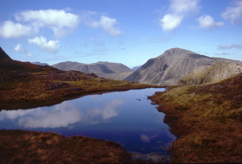
Learn the skills you need to navigate safely and confidently during the summer in Britain’s awe-inspiring mountains. This practical outdoor workshop will teach you about map reading, how to use a compass and route planning. During the day we will look at:
No navigation experience is needed, although experience of some summer hill walking and familiarity with an Ordnance Survey map would be useful. Fitness for a day of hill walking is required.
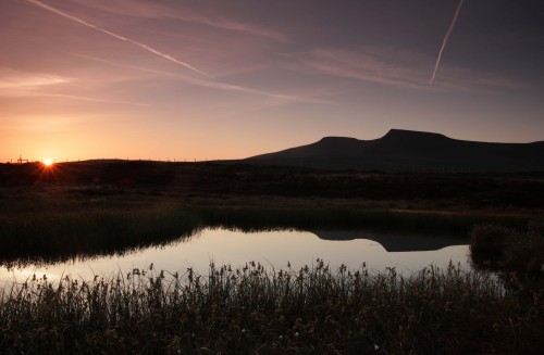
This one day course will last approximately 7-8 hours and we will include sometime for photography. We are happy to incorporate early morning starts or late night finishes to allow for sunrise, sunset and “Golden Hour” photography. Returning in the dark after photographing the sunset provides a fantastic opportunity to test your new navigation skills. Please remember to bring a head torch – a complete equipment list will be provided at the time of booking.
The group size is deliberately kept small, maximum 3, to ensure you have plenty of 1 to 1 time and the opportunity to ask questions.
All you need to bring is your camera, food and a flask of hot drink.